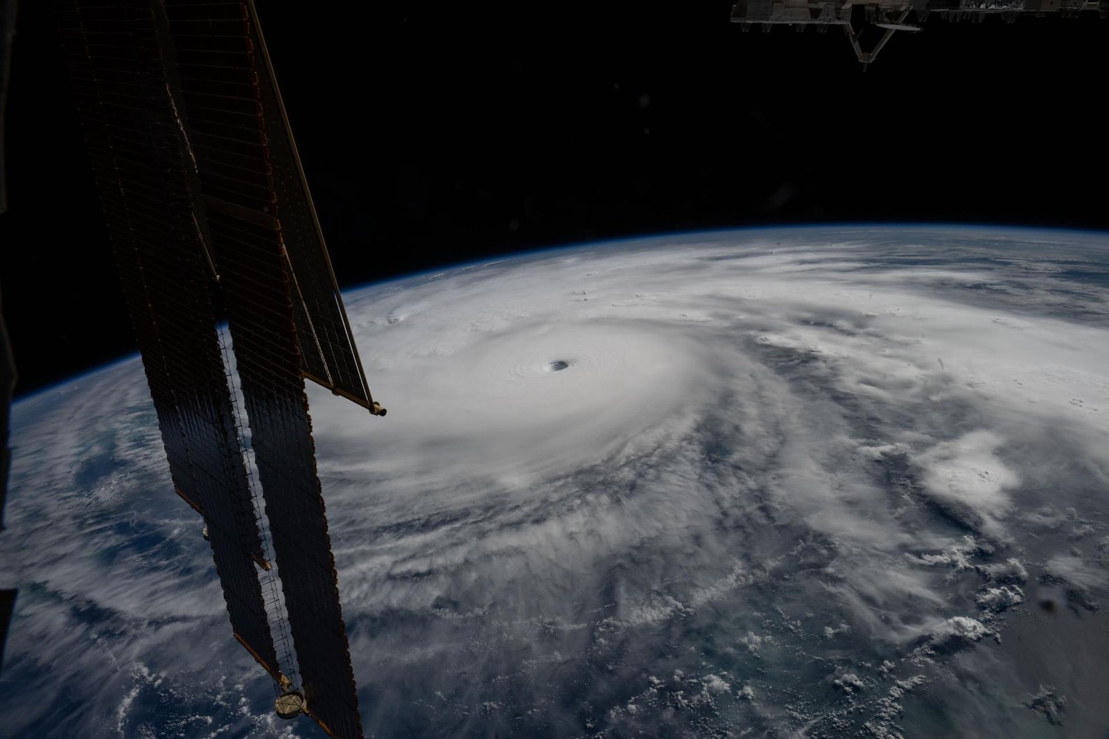
NASA reported that Sentinel-6B is flying about 30 seconds behind Sentinel-6 Michael Freilich and began low-latency data delivery on July 15. The radar-altimetry satellites measure sea-surface height, wave height and wind speed, information that helps researchers estimate ocean heat and supports forecasts of rapid hurricane intensification.
The tandem phase lets teams compare instruments before the satellites separate into wider coverage. Sentinel-6 is a partnership involving ESA, Eumetsat, NASA, NOAA and the European Union, with performance support from France's CNES. The measurements contribute to forecasting; they do not by themselves determine storm intensity.
Go to the source
This is an original summary, not a republication of the full report.
Read the original at NASA/JPL ↗